Australian Hydrographic Office
Government, Research and Education Organisations, Specialised Equipment and Services
Nat McLean
The Australian Hydrographic Office (AHO) is the Australian Government entity responsible for providing hydrographic services in accordance with the Navigation Act 2012, as well as related obligations under the United Nations Convention on the Law of the Sea (UNCLOS) and the International Convention on Safety of Life at Sea (SOLAS). The AHO sits within Defence.
The AHO delivers the following products and services:
- the National Hydrographic Program
- collection, management and validation of hydrographic data
- delivery of the National Charting Program, which includes:
-
- issue of maritime safety updates published fortnightly at hydro.gov.au
- production, maintenance, authorisation and distribution of nautical charts for Australian, Papua New Guinea and Solomon Island waters, and the Australian Antarctic Territory – including Macquarie Island and Australia’s 3 stations, Mawson, Davis and Casey. The AHO also maintains and prints charts covering Timor-Leste.
- maintenance and dissemination of hydrographic and other nautical information via a dedicated web site available to the public at hydro.gov.au
- provision of a suite of nautical publications to assist mariners
- providing an acquisition and distribution service for Defence and other Commonwealth agencies requiring nautical charts and publications.
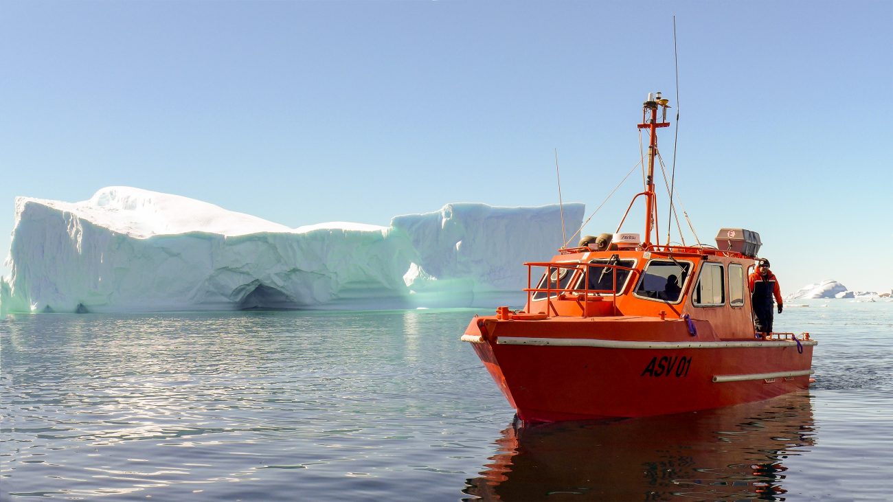
The AHO has been involved in expeditions to Antarctica & the sub-Antarctic islands for more than 100 years, collecting both hydrographic and oceanographic information to improve charting in the Australian Antarctic Territory – no vessel can legally navigate to or around the AAT without carrying products published by the AHO!
